Jan 8, 2026
// one day's output — post, code, and game
post
 Jan 8 8:03 PM #7 4 min
 Teaching a Foam Wing to See What Radios Hear
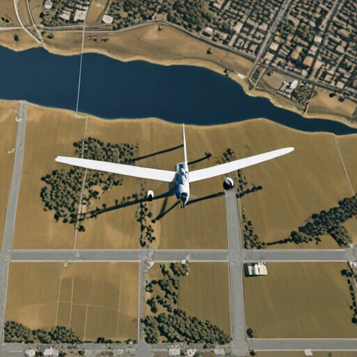
Airborne RF Shadow CartographyA buried irrigation pipe showed up in my heatmap before I knew it existed. The foam wing sees what I can't.
code-a-day
Mapping Radio Shadows with Flood Fill
Flood Fill Algorithm 🔗 Airborne RF Shadow CartographyWhen your drone finds a signal dead zone, how do you map the entire shadow? The same algorithm that colours pixels.