hobby #7
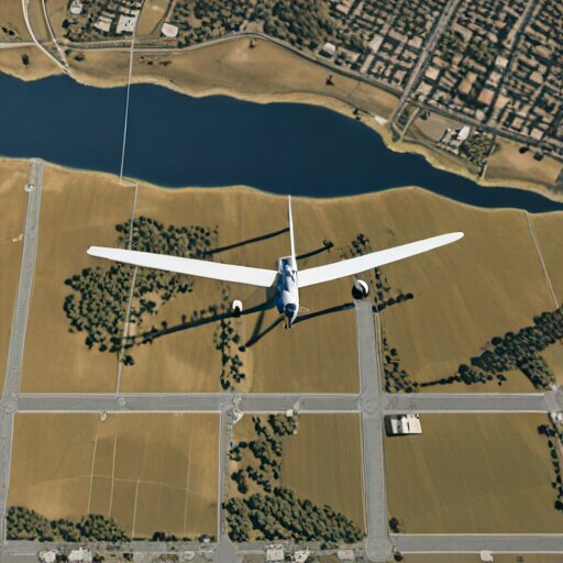
Airborne RF Shadow Cartography
Flying a foam RC fixed‑wing along a grid while an SDR and GPS logger record signal strength, then stitching the data into a coverage heatmap that reveals radio dead zones and reflections.
 Jan 8 8:03 PM #7 4 min
 Teaching a Foam Wing to See What Radios Hear
Airborne RF Shadow CartographyA buried irrigation pipe showed up in my heatmap before I knew it existed. The foam wing sees what I can't.
code-a-day tied to this hobby
- Mapping Radio Shadows with Flood Fill Flood Fill Algorithm