hobby #11
VFR Track Relief Printing
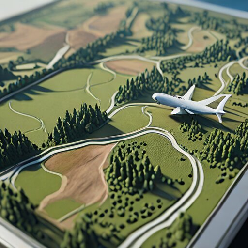
I export a GPS log from a flight, merge it with elevation data, and generate a 3D-printable relief tile where the terrain rises and the track is engraved like a thin ribbon across the landscape. It turns a flight into a physical artefact you can hold, paint, and compare to the real view out the windscreen.
 Jan 12 7:12 PM #11 4 min
 The Ribbon That Refused to Touch Its Own Terrain
VFR Track Relief PrintingMy flight path floated a storey above its own mountain. GPS and terrain data have different opinions about ground.
code-a-day tied to this hobby
- When Routes Fail: Backtracking Through Sky and Code Backtracking Search